
TWO DECADES OF
AERIAL GROUND TRUTH.
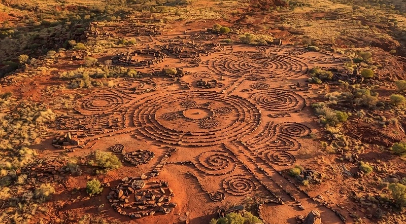
A specialized crew with over 20 years combined experience in Aboriginal and cultural heritage mapping — now extending that discipline into search, rescue, and remote-area operations.
ROOTED IN
HERITAGE.
Our story began in cultural land stewardship — mapping Aboriginal sites and cultural heritage assets with the precision and respect those places demand. That reputation built lasting relationships with State and local government agencies across the country.

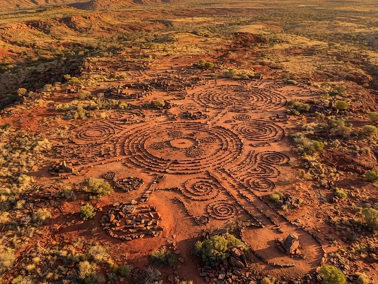
ABORIGINAL SITE MAPPING
Survey-grade aerial documentation of sacred sites, stone arrangements, and culturally significant landscapes conducted with cultural protocol awareness.
GOVERNMENT PARTNERSHIPS
Trusted engagement with State and local government agencies for heritage assessments, land management, and compliance reporting.
20+ YEARS COMBINED
A field-tested crew bringing decades of surveying, aerial imaging, and on-country experience to every deployment.
WHEN
EVERY MINUTE COUNTS.
We are currently producing search and rescue models designed to directly impact the survivability of people who are lost — and equipped to drop critical supplies directly to them in the field.

Survivability Models
Data-driven search models that prioritize likely drift zones and survival probability, directly impacting recovery time for lost persons.
Supply Drops
Precision delivery of water, comms gear, thermal blankets, and medical supplies directly to located persons in inaccessible terrain.
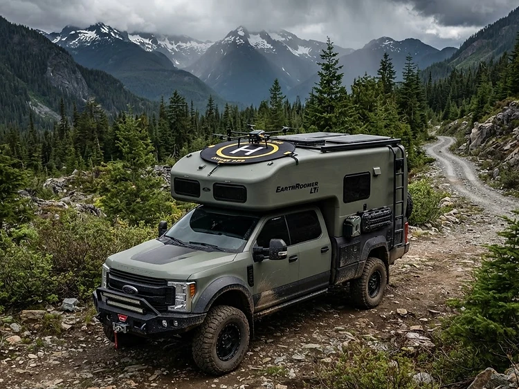
Earth Roamer Platform
Rapid-response combined vehicle that deploys with the drone fleet — getting airborne fast from any remote insertion point.
AUTONOMY
AT THE EDGE.
Beyond crewed deployments, our operations run on automated platforms and a mapping discipline built for the most demanding terrain — from scheduled security flights to heavy waterway surveys.

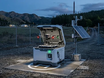

Drone-in-the-Box
Automated DJI Dock deployments for scheduled daily security flights and weekly inspection routines — fully autonomous launch, capture, charge, and upload with no crew on site.
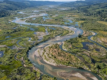
Waterway Mapping
A demanding specialty we routinely deliver — survey-grade mapping of rivers, creeks, and wetlands for catchment analysis, water accounting, and environmental reporting.
Volumetric Analysis
Volumetric data sets modeled to understand flood plain levels and inform proponents for water costing, allocation, and infrastructure planning decisions.
Open Reporting
All deliverable software and datasets open in standard formats — easily viewed, read, and shared for important meetings, stakeholder review, and cross-agency data sharing.
BUILT FOR
REMOTE REACH.
A fleet of 12 drones — all RTK-enabled — paired with combined vehicles that get our crews and aircraft into the most inaccessible areas a standard operation can't reach.
Underwater Submersible Mapping
The next capability in development — submersible mapping to extend our survey discipline below the waterline, supporting marine heritage, infrastructure inspection, and environmental monitoring.
Property Security & Crime Reduction
Persistent drone patrols and rapid-response aerial surveillance for rural and commercial properties — deterring theft, trespass, and vandalism with documented footage and perimeter monitoring.
BUILDING THE
NEXT OPERATORS.
We pass two decades of field experience to the next generation of operators and agencies — practical, on-country training that produces pilots and analysts ready for the work, not just the certificate.

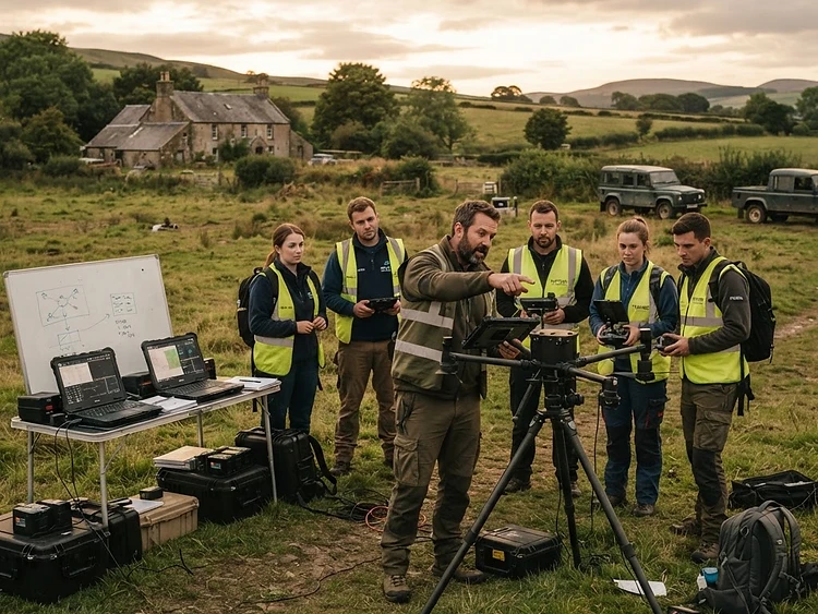
RPAS Certification & Operator Readiness
Practical pathway to CASA-style remote pilot certification, type ratings, and mission-grade flight proficiency — built on real field operations, not a simulator-only curriculum.
Cultural Protocol & Heritage Mapping
On-country workshops on Aboriginal site mapping, cultural awareness, and survey conduct — the heritage discipline that underpins every project we fly.
SAR Modelling & Supply-Drop Drills
Scenario training for search and rescue deployments — from survivability modelling to precision payload delivery for lost-person support.
Government & Agency-Upskilling
Custom programs for State and local government teams — bringing their staff up to operational standard on data collection, review, and compliance.
Open to new pilots, government teams, NGOs, and commercial partners. Custom on-site programs available on request.
A CREW THAT
GROWS WITH THE MISSION.
As our operations expand, so does the discipline behind them. We now bring specialised expertise in hydrology, structural engineering, environmental practice, and report writing to every deployment.
HYDROLOGY
Water resource specialists supporting catchment analysis, flood modelling, and waterway assessment alongside our aerial survey data.
STRUCTURAL ENGINEERING
Infrastructure-grade structural assessment for bridges, towers, and assets — turning inspection data into engineering-grade findings.
SPECIALISED REPORT WRITING
Comprehensive, compliance-ready reporting built from raw mission data into clear deliverables for stakeholders and regulators.
ENVIRONMENTAL SPECIALIST
Environmental expertise guiding land management, heritage, and ecological monitoring with culturally aware field practice.

